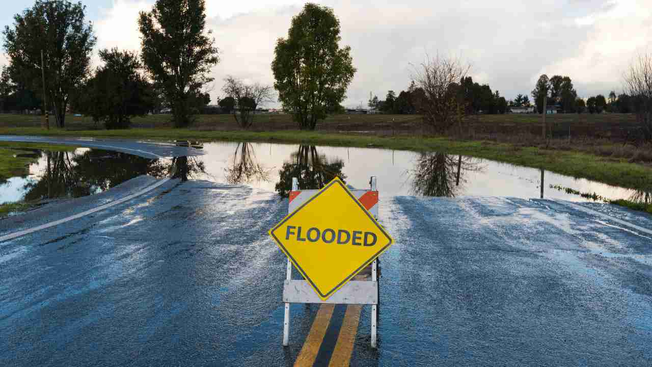
The Importance of Flood Zone Mapping
Living in a flood-prone area can pose significant risks to your property and safety. Flood zone mapping is a crucial tool that aids in identifying and assessing these risks, providing invaluable information for homeowners, businesses, and communities alike. By understanding the potential threats posed by flooding, you can take proactive measures to mitigate the impact and protect your assets.
Flood zone maps are created by the Federal Emergency Management Agency (FEMA) and other governmental agencies, using sophisticated river modeling techniques and historical data. These maps delineate areas that are susceptible to flooding based on factors such as proximity to water bodies, topography, and the likelihood of flooding events. The maps categorize areas into different flood zones, each representing a specific level of risk.
One of the primary benefits of flood zone mapping is its ability to inform decision-making processes. For instance, prospective homebuyers can consult these maps to evaluate the flood risk associated with a particular property before making a purchase. Similarly, existing homeowners can assess their vulnerability and consider implementing mitigation strategies or purchasing flood insurance to protect their investment.
Moreover, flood zone mapping plays a crucial role in urban planning and development. Local authorities can utilize these maps to guide land-use decisions, ensuring that new construction projects are undertaken in areas with minimal flood risk. This proactive approach not only safeguards communities but also helps to prevent costly damages and potential loss of life during flooding events.
Understanding Flood Zone Designations
Flood zone maps typically categorize areas into different zones, each representing a specific level of risk. The most commonly used designations include:
- Special Flood Hazard Areas (SFHAs): These are areas that have a 1% chance of being inundated by a flood in any given year, also known as the 100-year floodplain. Properties located within SFHAs are considered to be at high risk and are generally required to carry flood insurance if they have a federally backed mortgage.
- Moderate Flood Hazard Areas: These areas have a 0.2% annual chance of flooding, also referred to as the 500-year floodplain. Although the risk is lower than SFHAs, these areas can still experience significant flooding and may require additional precautions.
- Minimal Flood Hazard Areas: These zones are considered to have a low risk of flooding and are typically located outside the 500-year floodplain.
It’s essential to note that flood zone designations can change over time due to factors such as urbanization, climate change, and updates to mapping technologies. Regularly consulting the latest flood zone maps and staying informed about any revisions is crucial for maintaining an accurate understanding of your flood risk.
Part 2:
Taking Action: Mitigating Flood Risks
Once you have a comprehensive understanding of your property’s flood risk based on the flood zone mapping, it’s imperative to take proactive measures to mitigate potential damages and ensure your safety. Here are some steps you can take:
- Flood Insurance: If your property is located in a high-risk flood zone, purchasing flood insurance should be a top priority. Standard homeowners’ insurance policies typically do not cover flood-related damages, so having a separate flood insurance policy can provide financial protection in the event of a flood.
- Elevation: For existing structures in flood-prone areas, elevating the building above the base flood elevation can significantly reduce the risk of flood damage. This can be achieved through various methods, such as raising the foundation or constructing an elevated basement.
- Floodproofing: If elevation is not feasible or practical, floodproofing techniques can be employed to minimize the impact of floodwaters. This may involve installing flood vents, waterproofing building materials, or implementing barriers to prevent water from entering the structure.
- Emergency Preparedness: Develop an emergency plan for your household or business, including evacuation routes, emergency kits, and a communication strategy. Stay informed about local flood warning systems and be prepared to act quickly in the event of a flood.
- Community Involvement: Engage with local authorities and participate in community-based flood mitigation efforts. Support initiatives that aim to improve drainage systems, construct levees or floodwalls, and implement sustainable land-use practices to reduce the overall flood risk in your area.
By taking proactive steps based on the information provided by flood zone mapping, you can significantly reduce the potential impact of flooding on your property and life. Remember, preparedness is key, and being informed about your flood risk is the first step toward ensuring a safer and more resilient future.
While flood zone mapping provides invaluable information for assessing and mitigating flood risks, it is essential to recognize that flooding is a complex and ever-evolving phenomenon. As climate change continues to exacerbate the frequency and intensity of extreme weather events, it is crucial to adopt a holistic approach towards building resilient communities.
One of the key strategies in this endeavor is the integration of green infrastructure into urban and rural planning. Green infrastructure refers to the network of natural and semi-natural areas, such as parks, wetlands, and vegetated swales, that can help mitigate the impacts of flooding while providing numerous co-benefits to the environment and communities.
By preserving and restoring these natural systems, communities can leverage their inherent ability to absorb and retain stormwater, reducing the strain on traditional drainage systems and minimizing the risk of urban flooding. Additionally, green infrastructure can enhance biodiversity, improve air and water quality, and create recreational opportunities for residents.
Another critical aspect of building resilient communities is fostering collaboration and partnerships among various stakeholders, including government agencies, non-profit organizations, private sector entities, and local communities. Through coordinated efforts, comprehensive flood management plans can be developed, incorporating strategies such as land-use regulations, early warning systems, and emergency response protocols.
Joshua White is a passionate and experienced website article writer with a keen eye for detail and a knack for crafting engaging content. With a background in journalism and digital marketing, Joshua brings a unique perspective to his writing, ensuring that each piece resonates with readers. His dedication to delivering high-quality, informative, and captivating articles has earned him a reputation for excellence in the industry. When he’s not writing, Joshua enjoys exploring new topics and staying up-to-date with the latest trends in content creation.
Author